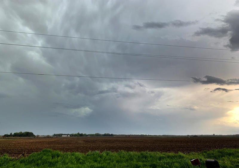
A tornado warning issued for parts of DeKalb County has expanded and remains in effect until 9:15 p.m.
No hail is expected. Residents in the path of the storms should avoid windows, take shelter in an interior room or the lowest level of a building. If you’re outside, in a mobile home or vehicle, move to the closest shelter to protect yourself from flying debris, warns the NWS.
At about 8:29 p.m., radar showed severe thunderstorms capable of producing tornadoes and high wind headed to the area.
Dangerous storms were expected to hit Earville at 8:35 p.m., then Sheridan, Shabbona, Serena and Leland around 8:40 p.m., and Sandwich, Lake Holiday, Somonauk and Waterman around 8:45 p.m.
The path of the storms is expected to include DeKalb, Malta, Sycamore, Cortland, Hinckley and Maple Park.
An earlier tornado warning was issued at about 7:50 p.m. Friday for parts of southeastern Ogle and northern DeKalb Counties, including Kingston, Genoa, Kirkland and Rochelle, according to the NWS.
:quality(70)/author-service-images-prod-us-east-1.publishing.aws.arc.pub/shawmedia/afeba7c5-6912-4fdf-967f-edcf9aadb18e.jpg)