Northern Illinois residents will get a brief taste of severe weather on Tuesday before attention shifts to a potentially dangerous and unusually powerful storm system expected to arrive on Wednesday.
The National Weather Service has placed parts of the region under a Level 1 of 5 severe weather risk on Tuesday, mainly east of Interstate 55 and into northwest Indiana. Scattered showers and thunderstorms are expected to develop along a cold front during the afternoon, with some storms capable of producing large hail and damaging winds.
The greater concern, however, is Wednesday.
:quality(70)/cloudfront-us-east-1.images.arcpublishing.com/shawmedia/DUIIIL2Q6ZFZFI3CXH4ALE4UFE.png)
Forecasters are warning that conditions are coming together for what could become a significant severe weather outbreak across the Midwest, with areas south of Interstate 80 facing the highest risk. The Storm Prediction Center has already issued a Day 2 Moderate Risk (Level 4 of 5) for much of the area south of I-80.
The National Weather Service said the atmosphere on Wednesday may support multiple rounds of severe weather, including supercells capable of producing strong, long-track tornadoes.
Current forecasts suggest an initial round of strong to severe thunderstorms could move into northern Illinois on Wednesday morning. Additional storms may redevelop during the afternoon and evening as a warm front lifts northward. The highest tornado risk currently appears to be near and south of I-80, though forecasters cautioned that the exact location could shift depending on how morning storms evolve.
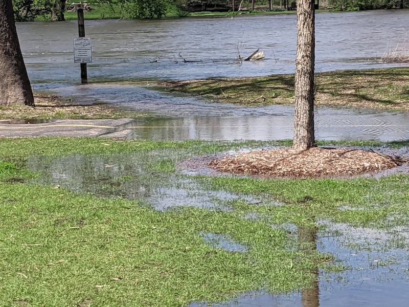
In addition to tornadoes, damaging winds in excess of 80 mph, large hail, and torrential rainfall are possible. Some storms could produce more than 2 inches of rain in an hour, raising concerns about flash flooding and possible river flooding, especially in areas that receive repeated rounds of storms.
The National Weather Service emphasized that details will continue to change over the next 24 hours, but urged residents to closely monitor forecasts, review severe weather safety plans, and ensure they have multiple ways to receive warnings before storms arrive on Wednesday.
:quality(70)/author-service-images-prod-us-east-1.publishing.aws.arc.pub/shawmedia/59fc2deb-4690-4608-b846-d6af698839c4.png)