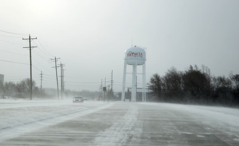
Expect localized hazardous travel Wednesday morning due to snow and strong winds, the National Weather said.
Winds up to 40 mph combined with snow showers may cause slick roads and visibility problems in some areas, the NWS said.
Heaviest snow squalls - between .5 to 1 inch - are expected east of Interstate 39, lasting until almost midday, the NWS said.
Temperatures will be falling today, with temperatures dropping into the 20s.
:quality(70)/author-service-images-prod-us-east-1.publishing.aws.arc.pub/shawmedia/8832388b-fc0a-47f3-aa56-fba06c9d2015.jpg)