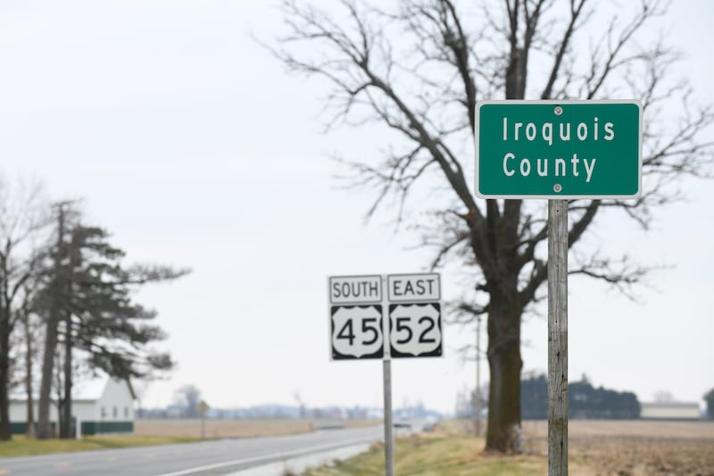
A possible tornado caused damage in northeastern Iroquois County and southeastern Kankakee County during a severe thunderstorm shortly after 4 p.m. Sunday.
A radar screenshot posted on Facebook by Illinois Storm Community showed an apparent debris ball northwest of Papineau heading towards St. Anne.
There were no reports of injuries.
Iroquois County Emergency Management Agency posted on Facebook that National Weather Service Chicago personnel would be surveying damage to see if it was a tornado or straight line winds.
NWS Chicago put out a graphic asking people in the shaded area south of Kankakee County for reports of damage.
NWS Chicago posted on Facebook a list of peak wind gusts through 4 a.m. Monday. Watseka had recorded a gust of 48 mph.
Highs Sunday were in the low to mid 60s in the area before the storm front came through. Temperatures quickly started to fall into the 20s.
High winds hampered firefighters who battled a structure fire in the 100 block of South Center Avenue on Sunday.
:quality(70)/author-service-images-prod-us-east-1.publishing.aws.arc.pub/shawmedia/56d71ceb-065f-4b89-a313-e8a4268a29ca.png)