The city of Joliet will begin a roadway mapping and roadway surface assessment project beginning this week.
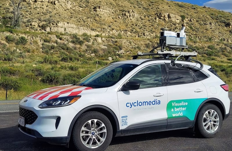
The program is done in partnership with Cyclomedia Technology for roadway mapping that includes “street level photography of all streets within city limits and provides 360-degree imagery with measurable three-dimensional coordinates utilizing LIDAR technology,” the city news release said.
LIDAR stands for Light Detection and Ranging using a remote sensing method that uses light in the form of a pulsed laser to measure distances and create 3D models of the local environment, according to the National Oceanic and Atmospheric Administration.
The mapping project is expected to take four to six weeks to complete, and residents can expect to see a Cyclomedia Technology, vehicle driving along city streets during this time, the city said.
For additional information, contact the city of Joliet Department of Public Works at 815-724-4200.
:quality(70)/author-service-images-prod-us-east-1.publishing.aws.arc.pub/shawmedia/8832388b-fc0a-47f3-aa56-fba06c9d2015.jpg)