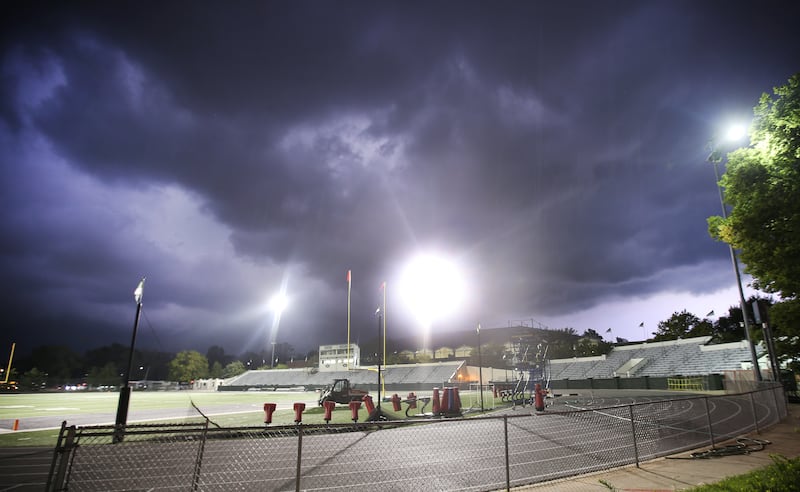
Northern Illinois residents should prepare for multiple rounds of thunderstorms over the next three days, with forecasters warning that Thursday could bring a significant severe weather threat to the region.
The National Weather Service said hot, humid conditions will persist through Thursday, fueling an increasingly volatile atmosphere capable of producing damaging winds, large hail, tornadoes and flash flooding.
:quality(70)/cloudfront-us-east-1.images.arcpublishing.com/shawmedia/VJ7B6NM6AVBDLJ3SVBMESJ5Z3I.png)
While isolated showers and storms are possible on Tuesday, the first organized severe weather threat arrives Tuesday night into early Wednesday. Forecasters say any storms that develop could produce damaging winds and hail, although confidence in widespread impacts remains low.
Wednesday brings another step up in the threat level. Temperatures are expected to surge into the upper 80s and low 90s, with heat index values approaching or exceeding 100 degrees in some locations. Forecasters are monitoring two potential windows for severe weather on Wednesday: one during the afternoon and another during the evening as thunderstorms develop across Iowa and Wisconsin before moving toward northern Illinois.
:quality(70)/cloudfront-us-east-1.images.arcpublishing.com/shawmedia/FFIY7AHRIZERFESDXAFZBNYBYM.png)
The greatest concern, however, remains Thursday.
The Storm Prediction Center has placed much of northern Illinois under a Level 3 out of 5 severe weather risk, indicating the potential for numerous severe storms. The National Weather Service said the overall weather pattern resembles setups that have produced significant severe weather outbreaks in the region in the past.
The exact timing and location of the most dangerous storms are still unknown. Much depends on whether morning thunderstorms develop and where weather boundaries ultimately set up across Illinois. But current forecasts show an environment capable of supporting all severe weather hazards, including tornadoes, destructive winds exceeding 75 mph, hail larger than 2 inches in diameter, and localized flash flooding.
Residents are encouraged to monitor forecast updates throughout the week, review severe weather safety plans, and make sure they have multiple ways to receive warnings, especially on Thursday.
A break from the heat and stormy weather is expected Friday and Saturday, when highs fall back into the upper 70s and lower 80s.
:quality(70)/author-service-images-prod-us-east-1.publishing.aws.arc.pub/shawmedia/59fc2deb-4690-4608-b846-d6af698839c4.png)